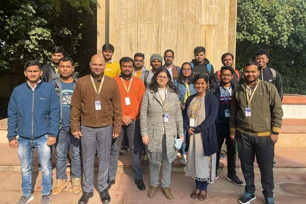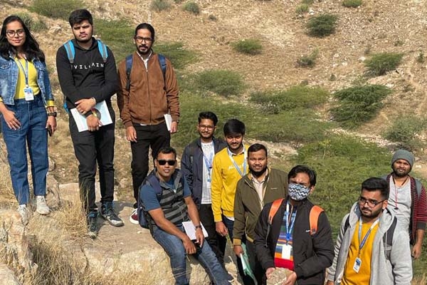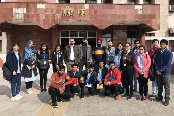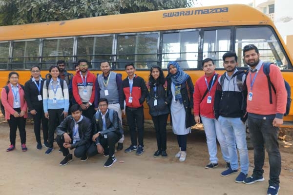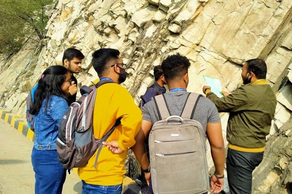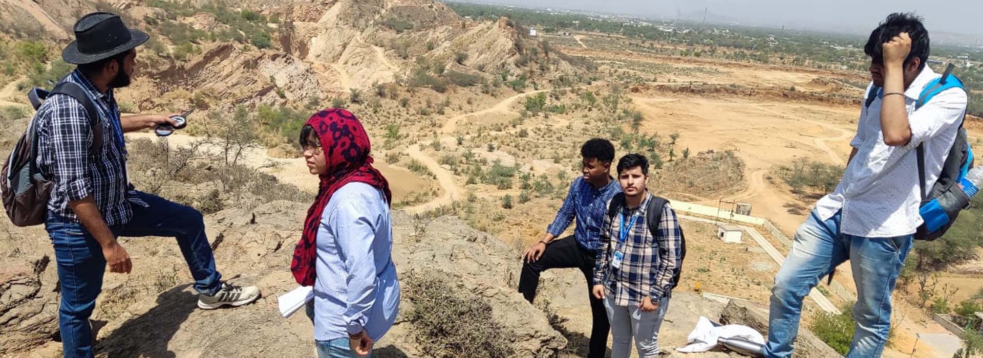
Field work are important to help bridge the gap between education in the classroom and hands-on experience. Field trips are a vital part of any educational curriculum. Centre for Climate Change and Water Research continuously organized field tour for enhancing the knowledge of student.As the study of the Earth and its processes, Students will be benefited greatly from time spent in the field, observing, measuring and studying the movement and interplay between rock, soil, water, engineered worksand environmental factors.Field work is an opportunity to practice a variety of techniques that will greatly assist students’ career. Students will learn how to effectively take notes and measurements, hand-draw maps and sketches, use GIS or drawing software to create digitized versions of your mapping, take relevant photos to record your observations, synthesize findings and create a thorough field report.There are many benefits of field work, particularly for those who enjoy the great outdoors.But there are plenty of other benefits of field work. Bonding with fellow students and colleagues. Most field work involves teamwork. It fosters great connections and having a collection of hands and minds working together towards a common goal leads to better, more accurate results than solo work.Getting to travel and see the world. Many applied geologists/Geospatial Analystuse this as one of the greatest perks of their profession. Geologists/Geospatial Analyst are often able to see some of the most impressive natural wonders of the world as a result of their career.
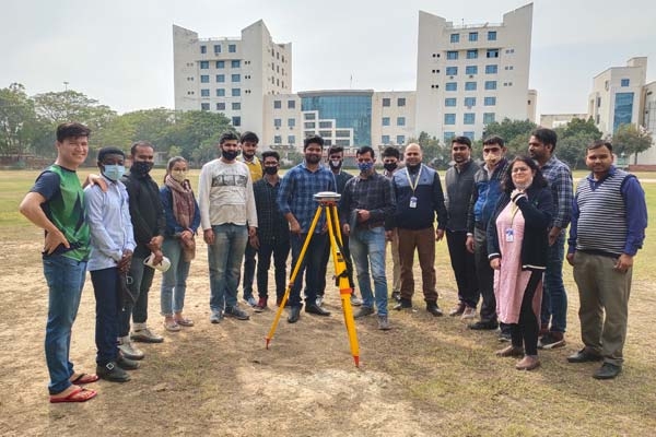
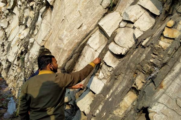
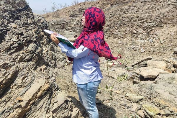
Generally students measure thicknesses of rock outcroppings,Compass clinometers (like a Brunton Compass) to measure the dip and strike of exposed beds,Stereoscope to view aerial photographs in 3D,Magnifying lenses for examining fine details of rock and soil features,Sieves, shakers and riffle boxes for sifting and analyzing sediment,Dip meters for groundwater monitoring,UAV/Drones for taking overhead footage of an area,Range finders for measuring distances between two targets or features,GPS trackers for pinpointing locationsto determine the elemental composition of the material being scanned.