Aug 2025
Course Commencement Date
Scholarship
Up to 90% Scholarship for Girl Students
Duration
Course Type
Fee Amount
Any M.Sc./B.E. or B. Tech/MA Geography in the relevant stream with a minimum aggregate of 60% and above from a recognized university. (5% relaxation in case of SC/ST category)
B.Tech. (any discipline)/ M.Sc. (any discipline)/ M.A. in Geography with 50% marks
Total duration of two years is divided into four semesters. In starting two semesters students will be engaged in theory classes, research oriented practical classes, field visit, ground survey, presentations and personality development etc. In third and fourth semesters students will undergo project/dissertation of one year having hands on training and research experience in various government organizations of repute, universities, companies etc.
Scientist and Researcher
In research organizations of National/International repute such as ISRO, NRSC, SAC, FRI, NIO, PRL, NASA, ESA, DRL etc.
Academician
In various IITs/ NITs/ IISERs/ CSIR Labs/ Central Universities/ State Universities/ Deemed Universities etc.
Spatial Analyst
In MNCs working in the field of spatial data modelling and analysis such as WIPRO, TATA Consultancy Services, Reliance, IBM etc.
Data Scientist
In MNCs working in the field of artificial intelligence, deep learning, machine learning, neural network such as Apple, Accenture etc.
GIS Engineer
In MNCs working in the field of Geoinformatics such as RMSI, Rolta, ESRI, Tom Tom, Map My India etc.
Remote Sensing Expert
In MNCs working in the field of digital image processing, satellite image analysis etc.
Urban and Town Planner
In central/ state organizations working in town planning, Master Plan, Smart City etc.
Surveyor
In different surveying companies such as L&T, Garmin, Trimble, Topcon etc.
The Centre for Climate Change and Water Research (C3WR) has been established in the Suresh Gyan Vihar University. The key focus of C3WR is to deliver up to date knowledge of geospatial technologies like Remote Sensing, Geographic Information System (GIS), Global Positioning System (GPS), and Satellite Image Processing. The primary goal of C3WR is to develop infrastructure and facilities for climate change research and coherent multi-disciplinary research group and manpower to engage in large projects of national and social relevance. C3WR is extensively involved in teaching, research, consultancy programmes towards the needs of developing and demonstrating the technology of satellite data utilization and development of Geoinformatics for various applications.
Programme Details
The key focus of this programme is to develop students’ skills in the field of the field of Geoinformatics technologies and applications with emphasis on various research activities ranging from understanding of atmospheric phenomena, climate simulation models, paleoclimate reconstruction, linkage between climate and river basin dynamics, flood hazards, impacts of climate on hydrologic cycle, water resources, crop productivity etc. Being a research driven courses, it is expected to accelerate our past year scattered research and is dedicated to high quality research.
Programme Outcomes:
Programme Specific Outcomes:
Salient Features:


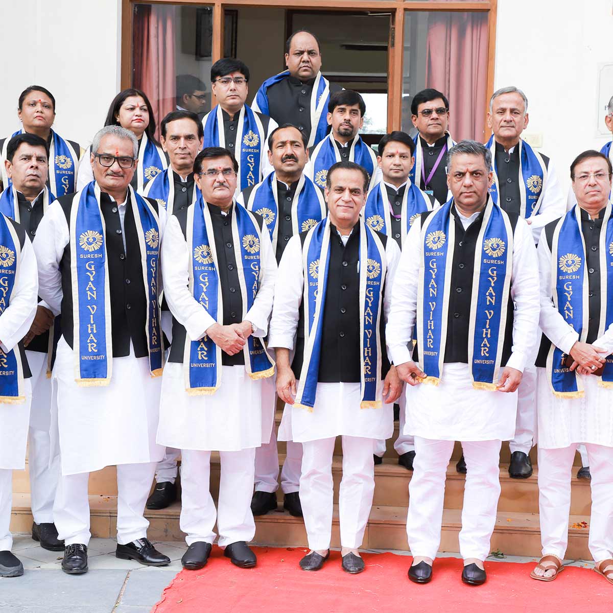
The Suresh Gyan Vihar University, Jaipur is a renowned University, established by an Act of State Legislature in the State of Rajasthan by the Suresh Gyan Vihar University, Jaipur Act, 2008 (Act No. 16 of 2008). The University is ranked by NIRF-2024 in the Rank-Band of 101-150 with the School of Pharmacy at 49th rank, and also university appeared in the overall rank band for the first time in the rank band 151-200. It is due to the consistent effort of ensuring quality and ethics in our delivery that the SGVU has been granted an "A+" grade accreditation by NAAC, achieving a score of 3.32 out of 4. Furthermore, the university's agriculture program and college have received accreditation from ICAR for five years. Based in Jaipur, it is also one of the only few research-driven Universities in Rajasthan with DSIR-SIRO recognition. Other major program approvals includes PCI, UGC-DEB, RCI, BCI, NCTE and AICTE.
Apply Now